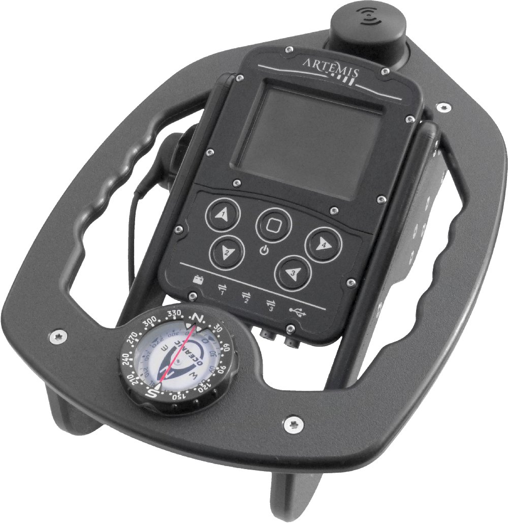
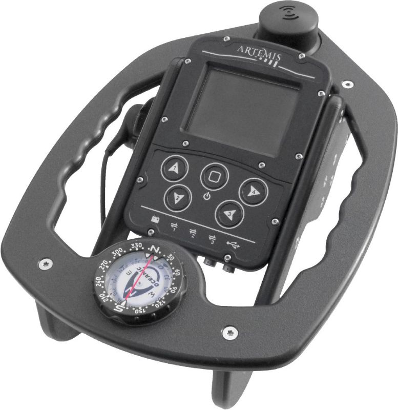
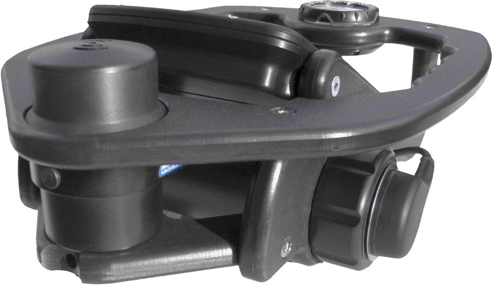
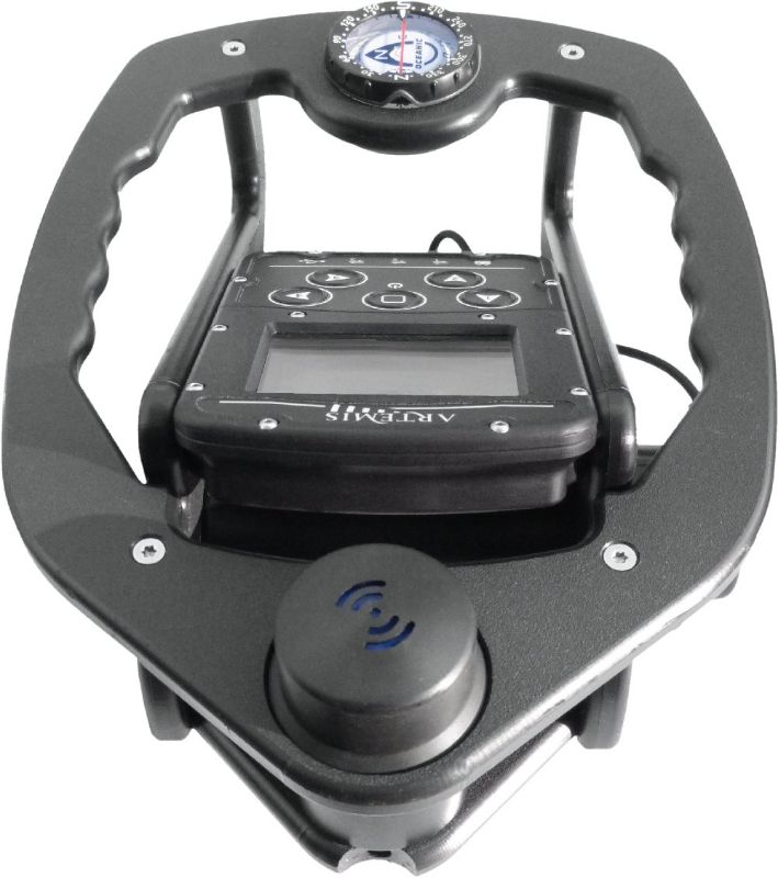
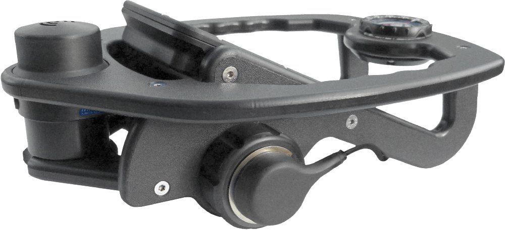
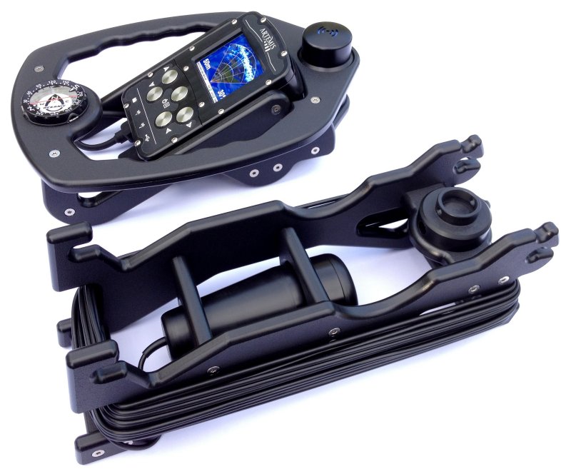
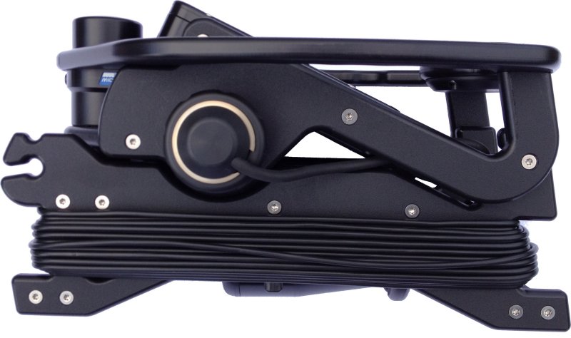
Artemis is a modular handheld console that can be configured as a diver target detection sonar and GPS underwater navigation aid.
Primarily designed to assist commercial and search-and-rescue divers in localizing and relocating objects on the seabed, Artemis has also been specifically optimized for use by Naval Mine Clearance and EOD Divers to relocate items of ordnance as an alternative to conducting a tactile or circular search around a known datum.
Typical uses for Artemis are search & relocation of...
- Unexploded ordnance by navy mine clearance divers, commercial EOD divers, etc.
- Seabed infrastructure within the offshore oil & gas environment (e.g. pipelines, well heads, structures).
- Missing persons, lost property, vehicles, aircraft, wrecks by police or search & rescue divers.
- Seabed/lakebed antiquities by marine biologists, archaeologists, sports divers, etc.
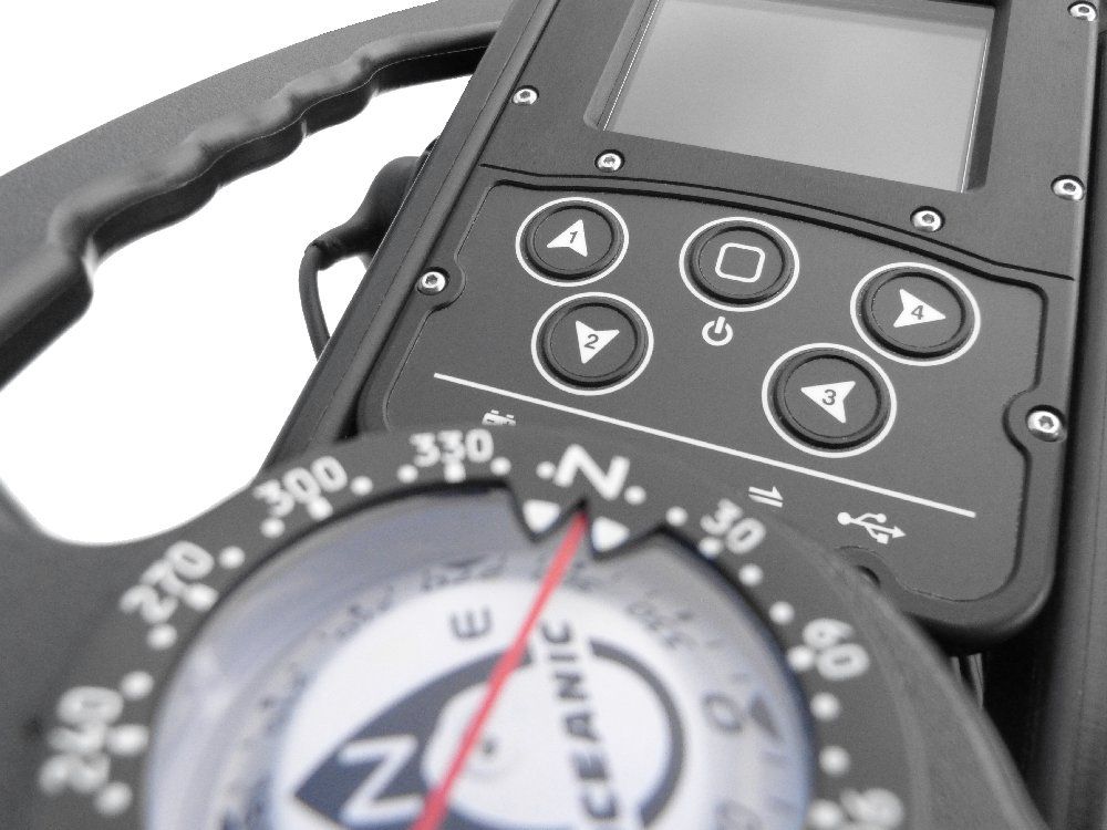
Artemis is intuitive and straightforward to use, as the interface has been designed by divers for divers. The user can quickly interpret information presented via the simple menu interface and graphical display. Sonar, Navigation and other apps are selected and controlled via a simple 5-button interface.
Prior to diving, the NavPoint PC software application allows creation of "Mission" files, containing navigation waypoints that the diver can choose as destinations during the dive.
When the diver enters the water, an intergrated immersion sensor automatically detects the start of the dive and starts logging data from the sonar, navigation system and other sensors into a "Dive-Log" file. Additional navigation markers can also be added to the log-file by the diver as they encounter other targets or locations of interest.
After the dive, using the 'plug-and-play' USB connection, data can be transferred from the internal Flash storage on Artemis and a Microsoft® Windows® based PC or laptop. The NavPoint software then allows reviewing of the dive-log data, synchronising the sonar imagery with the divers position and heading on a navigational chart. Data can be exported in a variety of formats for further use and analysis by third party software applications.